🎯Too Long; Didn’t Read
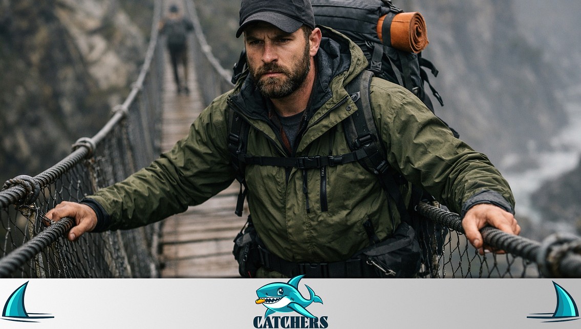
Forget easy strolls—some paths demand serious nerve. America's most dangerous hiking trails in the US lure hikers with incredible views and hard-won triumphs, but the risks are real.
-
Expect sheer drops, wild weather shifts, and deep isolation.
-
Rescues are tough, and sadly, some have died. Think Angel's Landing in Utah, Hawaii's Kalalau Trail, California's Half Dome cables, or Capitol Peak's "Knife Edge" in Colorado. These aren't casual walks.
-
Hidden dangers pop up too. Crowds cause bottlenecks on narrow paths. The weather can turn fast. Watch for wildlife like grizzlies or unexpected water hazards—flash floods or bad water quality. Getting through demands more than guts.
-
Your best bets? Carry essentials: bear spray, a way to signal for help (like a satellite device), and know how to navigate or cross streams safely. The smartest move sometimes is knowing when to head back. Respect beats overconfidence every time out there. Nature favors those ready and humble.
-
Required permits help manage numbers. Following Leave No Trace rules keeps these wild places safe and intact for everyone. Preparation is everything.
The Allure of the Edge
The sun beats down on Zion National Park. A hiker clings to Angel's Landing's rust-colored rock, white knuckles gripping sandstone. Wind rushes across the narrow spine. Left side? Nothing but air for 1,500 feet. Right side? Just as sheer, dropping straight into the canyon. One wrong move means disaster. Heart hammers, legs shake. Still, the hiker pushes on, drawn by the view that calls so many.
What makes people face this kind of risk? For some, it’s pushing personal limits. For others, it’s seeing things few others ever do. But triumph on top has another side. Rescues happen. Tragedies occur. These are sharp warnings: beauty often comes with real danger. That's the reality on most dangerous hiking trails in America.
The Paradox: Why We Chase Danger
Hiking itself isn't deadly. Millions use America's trails each year and come back fine. But some paths attract people because they're risky. Psychologists talk about a risk-reward paradox: bigger challenges mean bigger feelings of success. The pull is deep inside us.
Our brains give out dopamine for new things, uncertainty, and winning. Dangerous trails deliver all that in a big way. National Park Service data shows most trips are safe, yet these extreme routes remain popular.
Defining “Danger”
Not all hazards are obvious.
For this guide, “danger” is based on five key criteria:
-
Exposure – Steep cliffs, narrow ridges, and loose rock where a single mistake can be fatal.
-
Weather – Rapid changes that can turn mild conditions into life-threatening storms.
-
Remoteness – Locations far from help, where rescue is slow or impossible.
-
Fatalities – Documented deaths that highlight inherent risks.
-
Rescue Difficulty – Terrain or conditions that put even search-and-rescue teams in jeopardy.
These dangerous hiking trails deliver awesome views and deep moments. Yet they need prep, skill, and a humble attitude.
The Contenders: 8 Most Dangerous Trails in the US
Angel’s Landing – Zion National Park, Utah
Risk Rating: ⚠️⚠️⚠️ Severe
This hike packs a punch: 5.4 miles total, climbing 1,488 feet. But here's the deal – the big challenge is the final stretch. You're walking a skinny sandstone ridge. Drop-offs plunge about 1,500 feet down each side. Rain makes it slick. Crowds can get intense, making navigation tricky. Since 2000, over 13 people have died here.
Surviving it? Permits are mandatory now. Try hitting it early or late to dodge peak crowds. High winds? Just don't go. And a word to the wise: grab some gloves. Extra grip on those chains can be a real help.
Kalalau Trail – Nā Pali Coast, Hawaii
Risk Rating: ⚠️⚠️⚠️ Severe
That 22-mile hike around Kauai's coast? It's remote and seriously tough. You'll face real dangers: sudden floods in valleys, that infamous Crawler's Ledge path—just 18 inches wide—plus zero cell signal.
Stream water might carry leptospirosis too. Stay safe out there: pack supplies for at least three days. Never try crossing swollen streams. Always purify any water before drinking.
Half Dome Cables – Yosemite National Park, California
Risk Rating: ⚠️⚠️⚠️ Severe
Hiking Yosemite's Half Dome? It's tough. Expect 14 to 16 miles round trip, gaining about 4,800 feet. That last bit? A steep 400-foot climb up slick granite using cables. Lots of people use them at once.
Sudden thunderstorms hit often, and being so exposed makes it risky. Since 2005, over 13 hikers have died here. For better safety, use a climbing harness clipped to the cables. Also, start hiking really early, well before dawn, to miss dangerous afternoon storms.
Capitol Peak “Knife Edge” – Colorado
Risk Rating: ⚠️⚠️⚠️ Severe
Elk Mountains in Colorado demand serious respect. This climb stretches 17 miles out and back. You'll gain over 5,300 feet aiming for a summit at 14,137 feet. It's tough. Experienced climbers only.
Dangers stack up fast. A narrow ridge about 150 feet long has sheer drops plunging 1,000 feet down both sides. Loose rock is everywhere underfoot. High altitude brings risks like altitude sickness. The mountain's record is grim: at least five people died here just in 2017.
Stay safe. Never attempt this route after rain; wet rock turns incredibly slick. Consider that severe risk rating carefully. Success means carefully picking your way across that exposed ridge section – a serious traverse.
Bright Angel Trail – Grand Canyon, Arizona
Risk Rating: ⚠️⚠️ High
That 9.5-mile hike one-way in Grand Canyon National Park, Arizona? It's tough. You gain and lose over 4,300 feet. Temperatures often soar past 120°F. Dehydration is a big risk. Many beginners don't realize how hard this hike really is. Because of that, park rangers perform more rescues here than anywhere else in the Grand Canyon.
To hike safely: Start well before sunrise. Bring at least four liters of water per person. Pack electrolytes too – they help fight off heat exhaustion.
The Maze – Canyonlands National Park, Utah
Risk Rating: ⚠️⚠️⚠️ Severe
Hiking in Utah's Canyonlands National Park means tackling over 14 miles of unmarked canyons. Good luck finding signs. The terrain is a maze; dead ends pop up everywhere. Flash floods are a real danger.
You'll find zero services out there. No wonder people call it the "Bermuda Triangle of hiking." Stay safe: bring a GPS device and a satellite phone. Always tell park rangers exactly where you plan to go.
Mount Washington – New Hampshire
Risk Rating: ⚠️⚠️⚠️ Severe
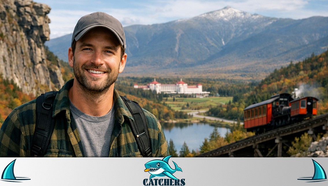
Hiking in New Hampshire's White Mountains? This particular 6–8 mile round-trip trail climbs over 4,000 feet. Conditions get extreme fast. Hikers face the planet's highest recorded wind speed – 231 mph – sudden whiteouts, and constant hypothermia danger. Summer offers no guarantee of safety. Over 150 people have died here.
For protection, carry microspikes and an ice axe anytime you go. If clouds start building up, turn around immediately. Don't wait.
Huckleberry Lookout – Glacier National Park, Montana
Risk Rating: ⚠️⚠️ High
Glacier National Park in Montana has a challenging hike: 12 miles round trip, gaining 2,700 feet. This trail cuts through one of America's highest grizzly bear densities. Expect about one bear for every three square miles.
Because bears feast on berries, parts close seasonally. Hike smart. Carry bear spray where you can grab it fast. Go with others and talk or make noise often to avoid startling a bear.
Hidden Hazards: Beyond the Obvious
Weather Whiplash
Weather kills more hikers than falls or animals do, surprisingly. At Mount Washington, you might leave a parking lot under warm sun, only to battle bitter cold windchill hours later.
Half Dome presents a similar danger: a clear blue sky can vanish, replaced by sudden lightning storms before you even get to the top.
The Human Factor
Even popular trails carry risks when crowded or tackled without enough experience. Angel’s Landing gets notorious "traffic jams" on its narrow ridge – a misplaced step there can have terrible consequences.
On Bright Angel, people often overlook how hot it gets, not planning enough for the tough climb back up.
Wildlife Encounters
Grizzlies steal the spotlight, but real trouble sometimes pops up in unexpected places.
Think Maine's Precipice Trail, where nesting falcons get aggressive, or coasts near Hawaii’s Kalalau, known for dangerous rip currents.
Water Woes
Flash floods turn slot canyons into instant death traps. Buckskin Gulch? A prime example – minutes are all it takes. But hazards aren't just floods.
Even clear mountain streams on dangerous hikes in Hawaii can carry leptospirosis. That bacteria kills without treatment.
Survival Toolkit: Expert Strategies
Gear Essentials
-
Bear Spray – Non-negotiable in grizzly country.
-
Satellite Communicator – In no-service zones like The Maze, it’s your lifeline.
-
Crampons & Microspikes – For icy or mixed-condition trails.
-
Water Purification – Filters + chemical tablets protect against parasites and bacteria.
Skills Over Strength
-
Stream Crossings – Face upstream, use trekking poles, and unbuckle your pack straps in case you need to jettison it.
-
Navigation – Always carry a paper topo map; batteries die faster in cold.
When to Turn Back
-
30-30 Lightning Rule – If you hear thunder within 30 seconds of a flash, seek shelter and wait 30 minutes after the last rumble.
-
Heed Ranger Warnings – If a trail like Kalalau is closed, it’s not a suggestion—it’s life or death.
The Ethics of Adventure
-
Permit Systems Save Lives: Sure, some folks don't like it, but permit systems for trails—think Half Dome or Angel’s Landing—manage crowds and cut down accidents. Downside? Fewer people get to go. Upside? Those who do find more room and safer conditions.
-
Leave No Trace: Getting ready isn't only for your own safety. It also means protecting wild places from harm we cause. Plus, it helps keep trails open for everyone.
-
Rescue Realities: Every rescue call risks lives. Capitol Peak recoveries cost tens of thousands and used risky helicopter moves because it's so remote.
Conclusion: Respect the Wild
These most dangerous hiking trails in the US show stunning views and demand serious respect. Preparation isn't just smart; it's essential for staying safe. Nature doesn't care about social media fame.
It rewards real skill and humility, but punishes overconfidence fast. Pass this guide to your hiking buddies. Tagging a friend might help them avoid becoming another sad story.
❓FAQ ❓
Can beginners handle these trails?
Seriously, no way. Tackling the most dangerous hiking trails in the US demands serious experience. You need solid technical skills – think scrambling or finding your own route. Top physical shape is essential, plus real mental grit for sheer drops and constant danger. These aren't casual walks.
How fit do I need to be?
Basic fitness isn't enough. Prove you can endure long, steep climbs carrying a heavy pack. Big elevation gain is standard. Crucially, you must stay calm on exposed sections without panicking. Train specifically for what the trail throws at you.
What's the big deal with high altitude, like on Capitol Peak?
Thin air adds major risks. Altitude sickness (AMS, HAPE, HACE) becomes a real threat. It messes with your thinking and saps your strength. You'll dehydrate faster up there. Weather extremes, especially cold, hit much harder too.
Broken bone far from help - what now?
Use your satellite communicator right away to call rescue. Tell them exactly where you are and what happened. If you know first aid, do what you can. Focus on keeping the injured person stable and shielded from weather until help arrives.
Can I just trust my weather app?
Nope. Forget relying solely on apps. Mountain and coastal weather shifts fast and hyper-locally. Always check official sources – National Park Service or NOAA forecasts for both the trailhead and the summit/coast – right before you go. Be ready for sudden changes, no matter what the forecast says.


